Last year I was shown photos of the headwaters of the Mo Chhu (Female River) near Laya, Bhutan revealing a section of the river that could potentially be kayaked. I immediately began planning a recce. At home we call this a first descent while Bhutan it’s referred to a “recce,” a trip to see if a river is feasible for other groups.
It is a unique experience to paddle a river that nobody has ever done. The pre-trip planning requires extensive map work as well as figuring out the logistics for getting to and from the river. This is an experience that is best shared with a group of great friends. Our team was comprised of myself, Dan Martin, Aaron Howard, Gretchen Mallari, Tshe Tshe, and Chencho Drukpa. We also had a staff of wonderful Bhutanese horsemen and cooks who made our trip in the high Himalaya comfortable.
The Trek to Tochuzam
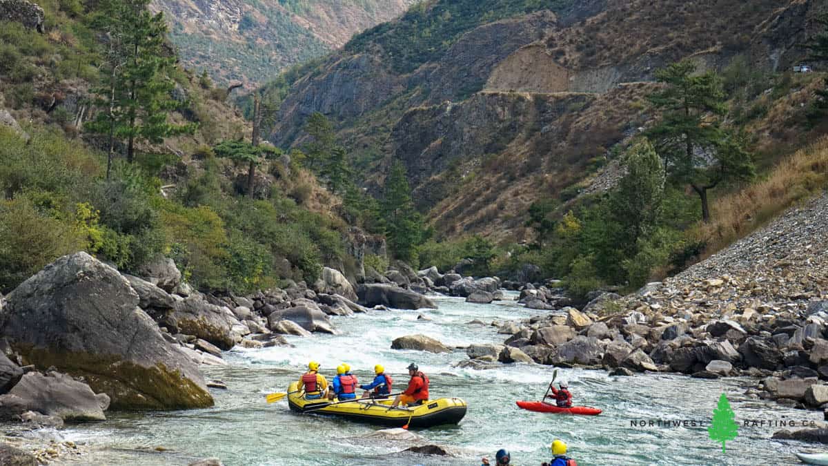
After arriving at the Paro International Airport we paddled the Paro Chhu, a fun Class III+ river just few minutes from the airport.
We enjoyed an evening in the capital city of Thimphu followed by an 8 hour windy drive to the mountain town of Gasa. This small village along the Mo Chhu is famous for its hot springs and as being the gateway to Laya and Tiger Mountain.
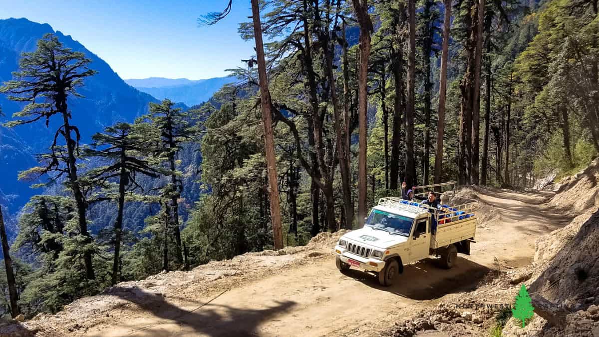
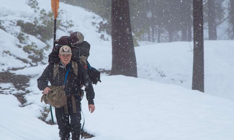
We spent the night here and drove a couple of hours the next morning to meet our pack train of 13 animals which carried our camping and boating gear upstream.
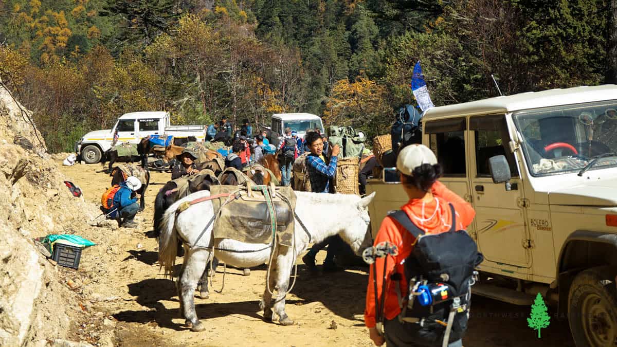
That afternoon we made it to Tochuzam (meaning slow water bridge) where we camped for the night. This is where would take-out four days later.
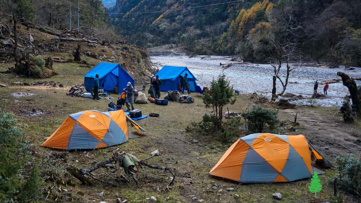
Trekking to the base of Kangcheda I (Tiger Mountain)
From our take-out we began hiking upstream to the base of the 21,909 foot Kangcheda I (Tiger Mountain). It was nice to scout some sections of the river from the trail and we were all happy to see that the river looked fun and runnable.
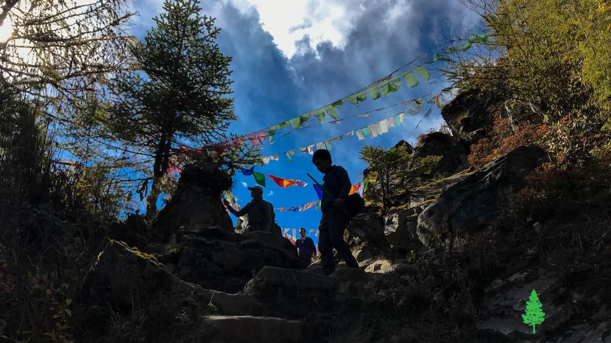
We spent our second night at the mountain town of Laya with beautiful views of nearby snowcapped mountains. At Laya we were high above the river and unable to scout the section below that we measured at 250+ feet per mile (fpm).
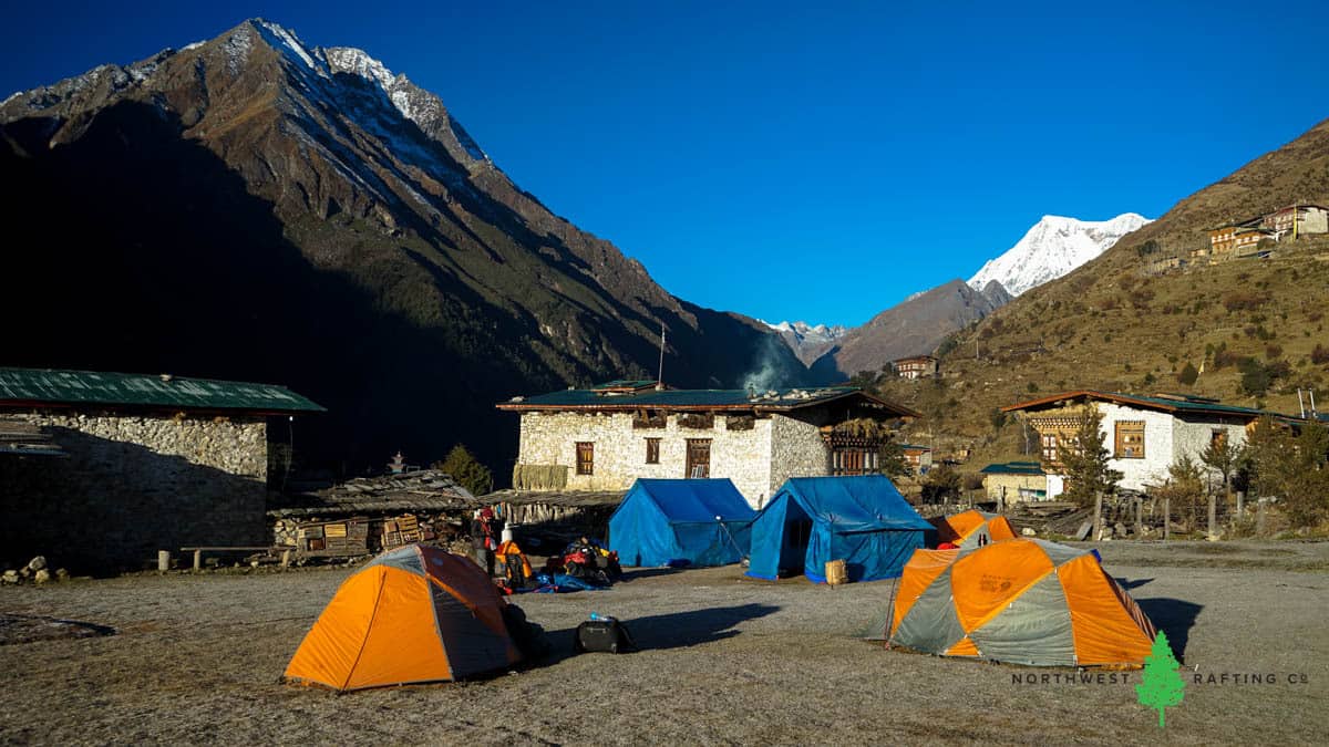
After waking up to a beautiful sunrise we continued our hike upstream. We found several places to put-in and settled on the confluence of the upper East and West Forks of the Mo Chhu at 12,477 feet. From here we continued further up the West Fork to explore the mountain. We set up camp near the base and explored the nearby glacial lake beds.
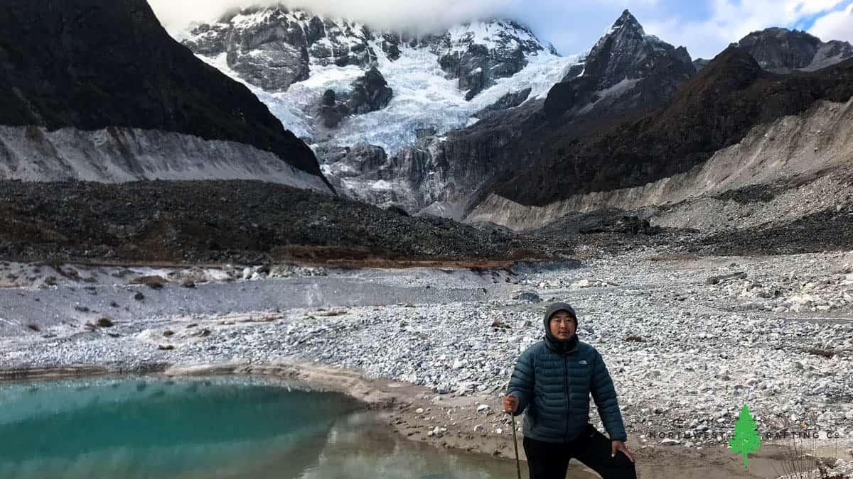
A few years ago a glacial lake burst and we enjoyed walking around the glacial moraine and the newly exposed lakebed.
Put In
After spending a night at 13,500 feet we began hiking back down to the put-in we found a day earlier. Here we removed our inflatable kayaks from the mules, pumped them up, and organized our gear.
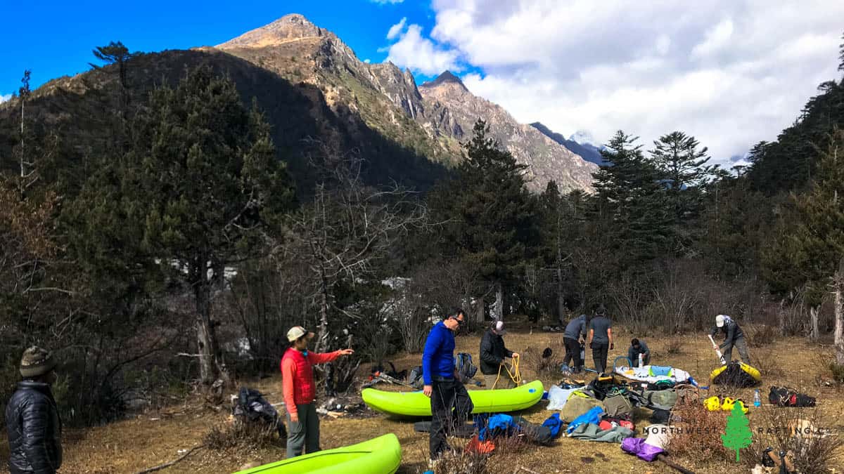
For this trip we chose to bring the AIRE BakRafts that I’m so fond of. At just 10 lbs each I was able to bring 4 of them from home and put them on pack animals with minimal difficulty. We also had one SOTAR inflatable kayak that I had left in Bhutan a few years earlier.
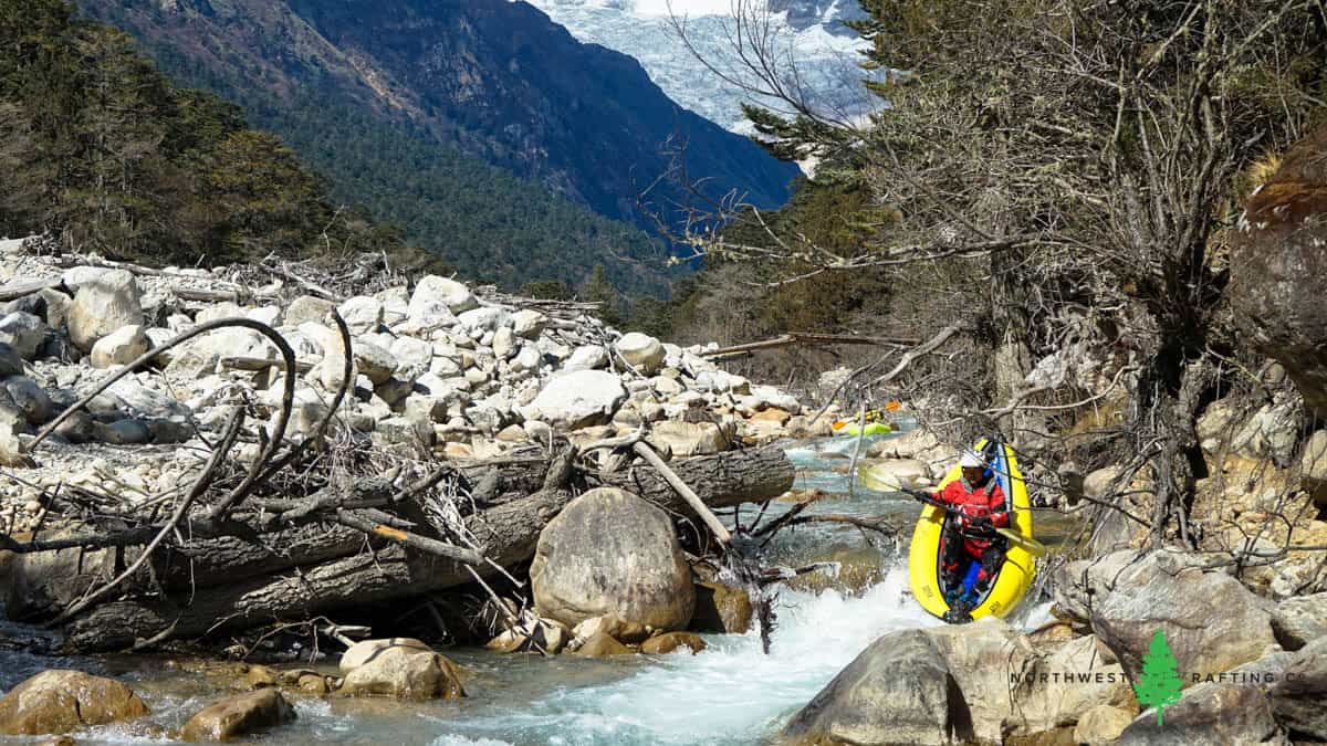
The put-in of a first descent is always an exciting time. None of us knew what the river would be like for the first 6 miles since it was hidden from view. We expected steep gradient of 250+ feet per mile which meant nearly continuous rapids and some potentially large drops. If the river was un-runnable we’d be in for some long portages or potentially climbing 1,000+ feet out of the canyon. There was some anxiety but overall we were excited to see this canyon and finally run some whitewater!
The Upper Half
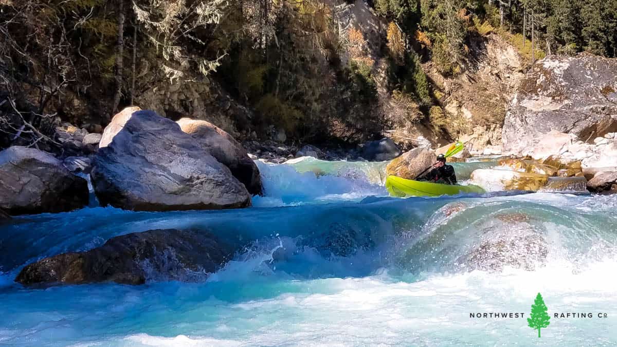
The first six miles was one long, continuous, and steep rapid. I expected to find some sections that we’d need to portage but around almost every corner we were able to look downstream and find routes through the rapids. We did scout a few big horizon lines and had to portage 10 or so logs that spanned the river.
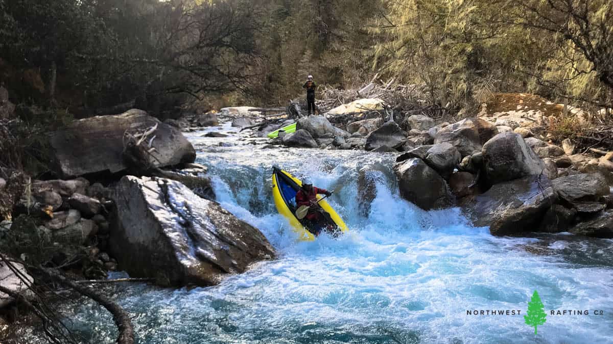
For this type of river running I really enjoy inflatable kayaks because they are easy to jump out of in small eddies and are less likely to pin than hardshell kayaks.
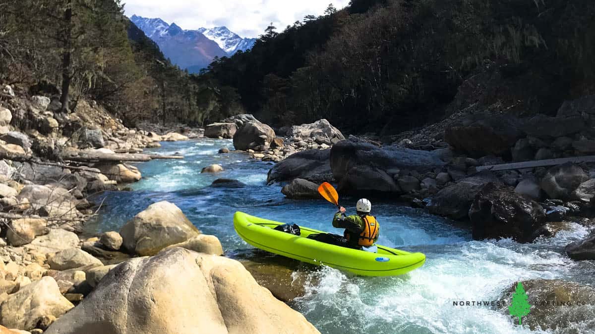
The downsides of the inflatable kayaks are that they wrap on rocks and can tear. We had both things happen a few times.
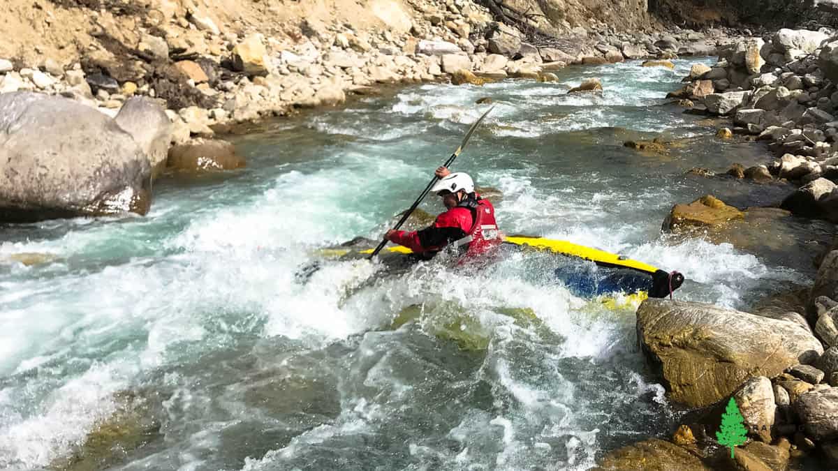
I was the first to tear a boat by putting a long hole in the inner and outer tubes of my floor. The AIRE BakRafts are incredibly light so we brought an extra one which I pumped up and used instead of doing a complicated repair.
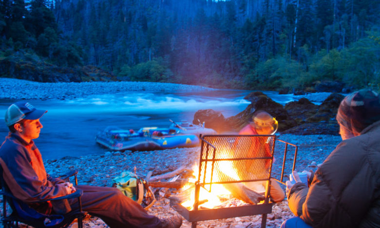
After 5 hours of battling our way down steep, rocky rapids we made it to our camp along the river. Our pack train arrived there early and was able to set up camp, make tea, and get a fire going before we arrived. After a long, cold day on the water we were ready to warm up!
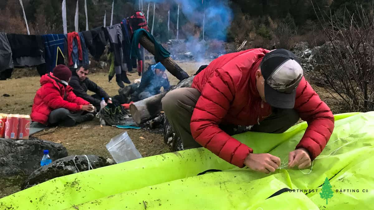
We did some boat repairs by the campfire and shared stories about a great day on the river.
The Lower Half
We had a mile of similar whitewater before the Lungo Chhu and Masang Gang Chhu added more water, doubling the flow. With the increased flow it was nice that the gradient mellowed out to around 100 fpm. We were looking forward to being on a river instead of a steep creek since the abrasive rocks were really beating up the kayaks.
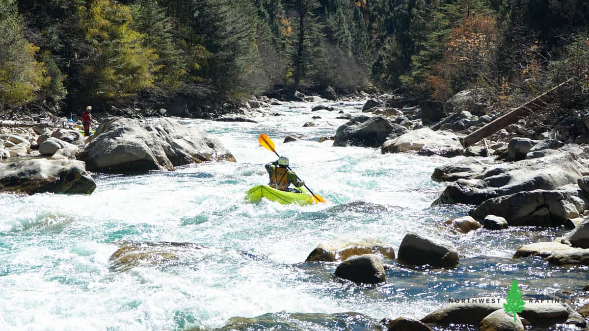
At the confluence with the Masang Gang Chhu we had to stop and do a couple more repairs. Many of the rapids in the second half we were able to scout on our hike up so we generally knew what to expect. We were all having a great time boat scouting big rapids that were at the limits of our ability in inflatable kayaks. We did 4 portages and ran countless fun rapids. We were all quite amazed at the quality of whitewater below Masang Gang Chhu.
We finished paddling where we camped at Tochuzam a few days earlier. We packed up out our boats, threw them on the mules, and hiked to a camp by a beautiful side creek. After a night there we made our way back to the vehicles and slowly began our trip back home. We spent our last few days in Bhutan visiting Dzongs and monasteries and spending time with good friends.
