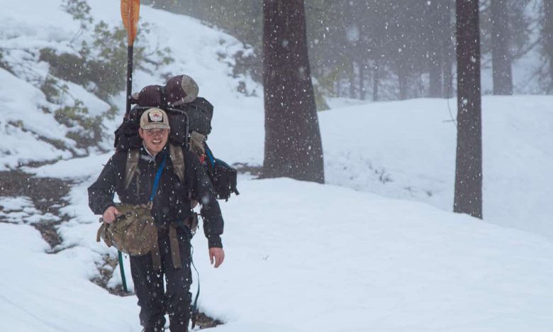
Last week, I explored the South and North Forks of Rough and Ready Creek with a couple of the trusty NWRC guides. We had hiked in and paddled the North Fork of Rough and Ready Creek a few years ago and fell in love with the unique and beautiful landscape. Shortly after that trip, we learned that this area is threatened by a large scale nickel mine, as it falls outside the border of the protected Kalmiopsis Wilderness.
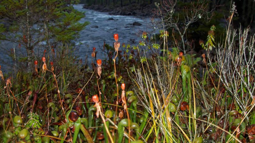
Rough and Ready Creek flows through a Forest Service Botanical Area, Oregon State Botanical Wayside, and BLM Area of Critical Environmental Concern. Its serpentine soils are unique and host the highest concentration of rare and endemic plants in Oregon. This region also has the highest concentration of the carnivorous plant Darlingtonia Californica (aka Pitcher Plant or Cobra Lily) in the world.
After learning more about this area and the mine threat to it, we vowed to explore it further and made it Chapter 1 of our “Kalmiopsis Wilderness” project, a comprehensive exploration of the Kalmiopsis via its rivers and creeks. J.R., Lori, Daniel, and I loaded up the truck with our kayaks on the shortest day of the year, hiked as far as we could up the North Fork of Rough and Ready Creek, and then paddled back down.
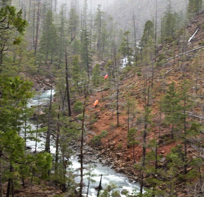
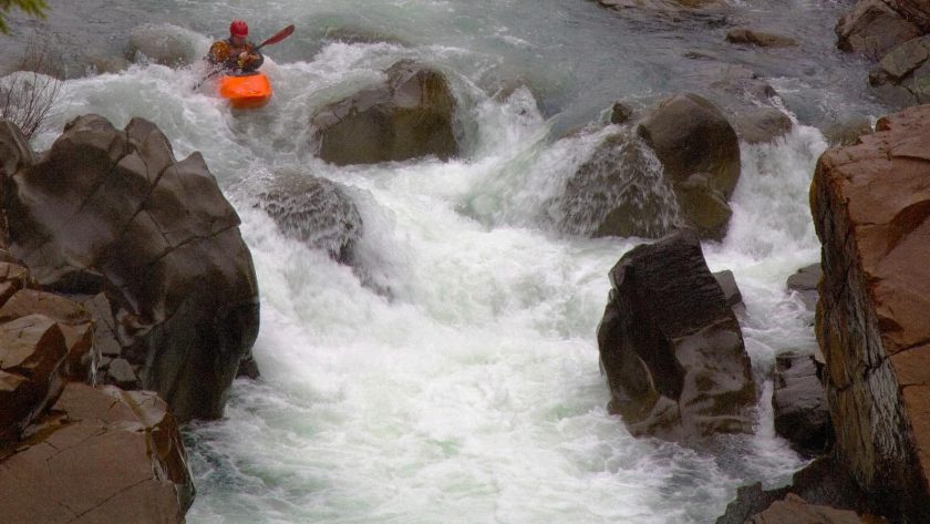
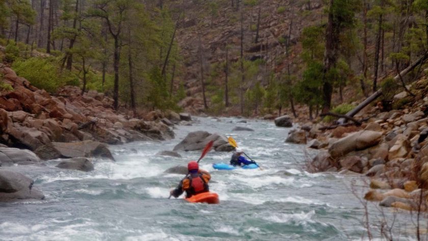
There are few trails in the upper reaches of Rough and Ready Creek, so we followed a few old mining roads and did most of our travel cross country with our kayaks on our shoulders. When we couldn’t hike up one side of the creek we’d paddle across and try walking up the other side. After four hours of hiking we were exhausted and put in on the North Fork about a mile above where we had started on our last trip. The whitewater was pretty straightforward except for one long rapid with a five foot drop at the bottom. We’re pretty confident that nobody else has run this section of the creek, so we named this rapid “Don’t Go Middle” in honor of our terrible lines down the middle. But that’s another story….
We paddled our way down the remainder of the North Fork only stopping to take a few photos of Darlingtonia Californica and the surrounding scenery in the waning light of the winter afternoon.
We were so inspired by the beauty of this creek that we decided to come back the next day and venture down the South Fork of Rough and Ready. We left our boats at the confluence and hiked back to the truck.
The next morning as we drove up, we encountered a good old Oregon snowstorm. We probably would have turned around, but since we had so enthusiastically left our boats at the confluence, we were committed to this adventure. As I hiked through this silent landscape covered in snow, the words of my friend Barbara, from the Friends of the Kalmiopsis who had written me shortly before this trip, echoed in my mind:
“Sometimes I go out when others think it’s crazy and conditions do end up being impossible and miserable. But there are enough times, when by being there, despite the discomfort, I’m witness to unexpected beauty or events that leave me shaken to the core. Annie Dillard called it ‘going into the gaps.’ There are no guarantees.”
This trek certainly felt like ‘going into the gaps’ and Barbara’s words reminded me of other times that I headed into miserable conditions and reemerged with the most beautiful and fulfilling experiences. This is one of the reasons I love to paddle with J.R. – he is always willing to put himself out there for the chance at an unforgettable experience. That, and his ability to keep everyone’s spirits up despite the conditions!
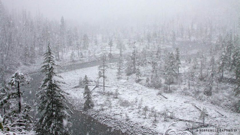
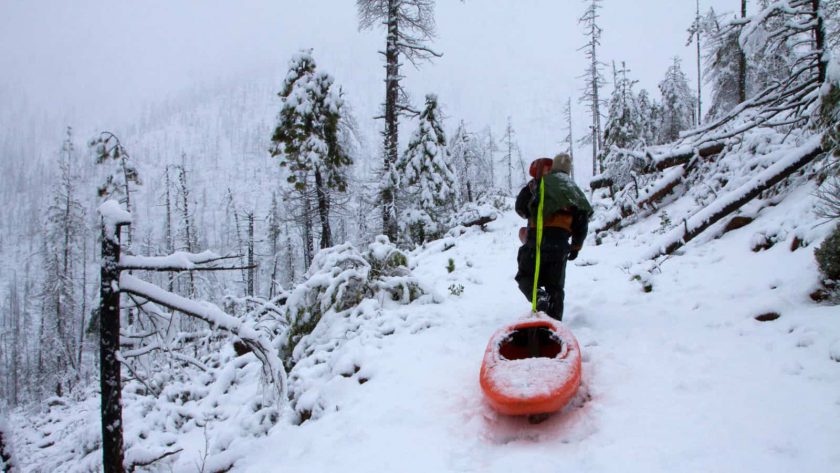
Finally the sight of our brightly colored kayaks interrupted the landscape of white. We dug them out and began our hike up the South Fork in the heart of the blizzard. The maps showed an old mining road that went away from the creek and came back to it a mile or so upstream. Unfortunately, the road went immediately uphill and after half an hour of dragging our kayaks through the snow, we found ourselves far above the creek. Soon after reaching the top of the road we lost the trail and were forced to bushwhack our way back down to the creek.
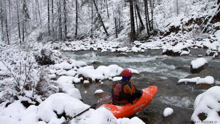
The South Fork was noticeably steeper than the North Fork. We put in above a Class IV rapid and the creek remained continually Class IV all the way down. We stopped a few times to take photos and absorb the beauty of the Port Orford Cedars, heavy-laden with snow, along the river bank. Huge white flakes floated all around us before disappearing into the creek’s icy depths. What a way to celebrate the second day of winter!
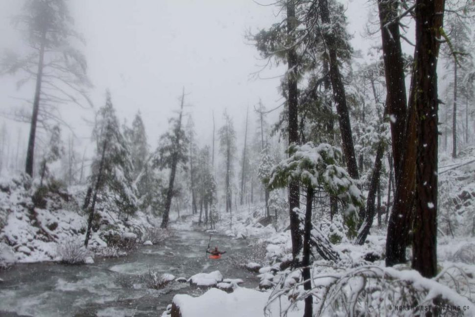
We reached the confluence with the North Fork and paddled on down to the mining road where we hiked back to the truck. Despite our cold noses, we all left this trip ecstatic and more motivated than ever to do what we could to protect this amazing place.
