Our 4-day Rogue River overnight trip packs in plenty of excitement, relaxation, nature’s beauty, and quality time with family and friends for one vacation. If you would like to extend your trip, I have a great road-trip itinerary suggestion below. This route follows along the Rogue Umpqua Scenic Byway.
Crater Lake National Park
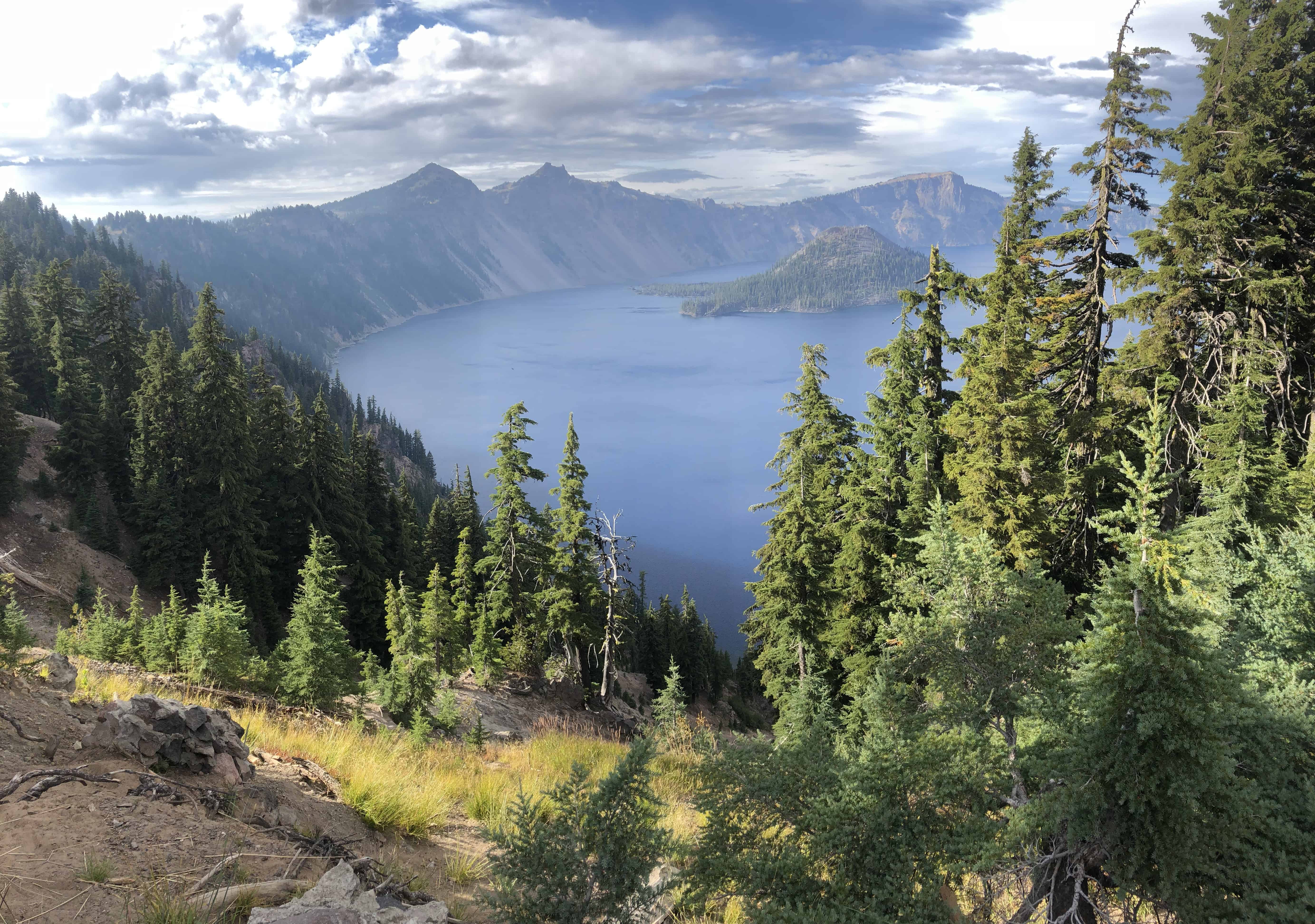
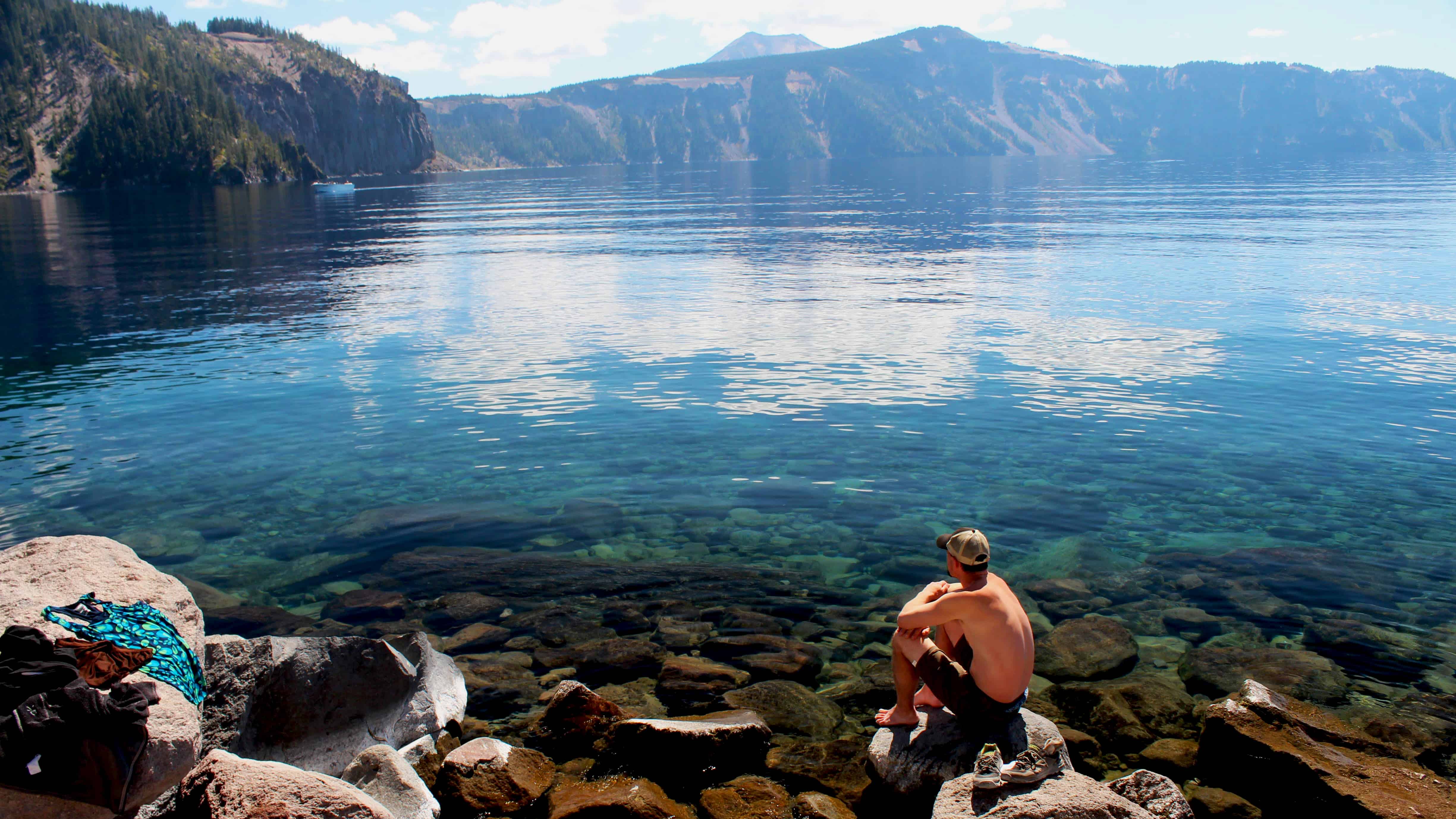
After leaving Galice Resort and saying goodbye to your guides, it’s time to head towards the iconic Crater Lake National Park. The only National Park in the state of Oregon, this beautiful park has plenty to do surrounding the coldest, clearest, and deepest lake in the United States (1,943 feet!). Created by a collapsed volcano, the lake has hiking, boat tours, trolley tours, swimming and fishing (catching Rainbow Trout and Kokanee Salmon are both free and encouraged, since they were introduced by humans in the early 1900s).
Take the educational and scenic boat tour around the lake to get a unique perspective of the blue water and Wizard Island. You’ll have to hike down a somewhat steep mile to the boat dock to Cleetwood Cove and then back up afterwards, but it’s the best way to experience the park.
To get to Crater Lake from Galice, head towards Grants Pass and take I-5 South to exit 40 for Gold Hill, Oregon (Hwy 234 to 62 N.).
En Route to Crater Lake
On the way, there are many worthwhile stops. First you’ll pass Lost Creek Lake, where you can explore more than 30 miles of hiking and biking trails around this reservoir. There’s also a marina and campground. Continuing on Highway 62, you will next see signs for the Prospect State Scenic Viewpoint. This half-mile trail leads to you the “Avenue of the Giant Boulders,” an upper stretch of the Rogue River that contains colossal-sized boulders that once broke off of the cliff-face above.
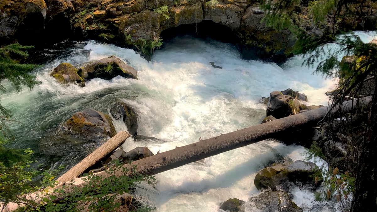
Next you’ll pass through a place called Prospect: stop at the USFS Ranger Station to pick up some maps and area information. A few minutes down the road later, stop at the Rogue Gorge and Natural Bridges viewpoint. You’ll see a place where a section of the Rogue River flows completely underground, through a lava tube for 200 feet, and pops back out through a cave. It’s a worthwhile short hike.
Diamond Lake
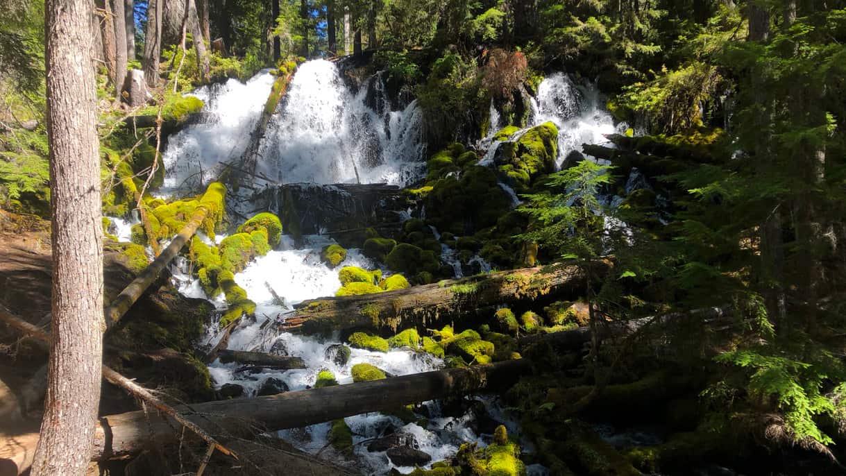
After you’ve spent a couple of days at Crater Lake National Park, leave the park from the northern side to highway 138. You will pass Diamond Lake, with camping, nearby trails, and views of the 8,376′ Mount Bailey. There are many waterfall stops along this route heading west. The first one is a short walk from the parking lot, Clearwater Falls. It’s a picturesque view of cold, clear waters cascading over moss-covered rocks.
Waterfalls and the North Umpqua River
The next one is Whitehorse Falls, a 15-foot punchbowl falls. A few miles further is Watson Falls, the highest waterfall in southwest Oregon at 293 feet. It’s a 1.1 mile hike round-trip, making this an easy stop. Next up is my favorite, the iconic Toketee Falls. This double-tiered falls drops 120 feet through perfect rows of columnar basalt. There are many stairs to the viewing platform, but the hike is only 0.4 miles each way.
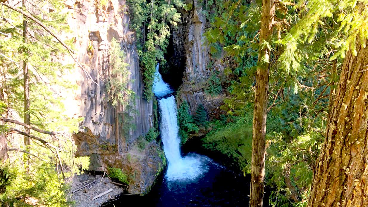
Leaving Toketee Falls, you will begin following the North Umpqua River. There are numerous campgrounds, recreation sites, and more waterfalls. Learn more about each one through the “Thundering Waters” brochure.
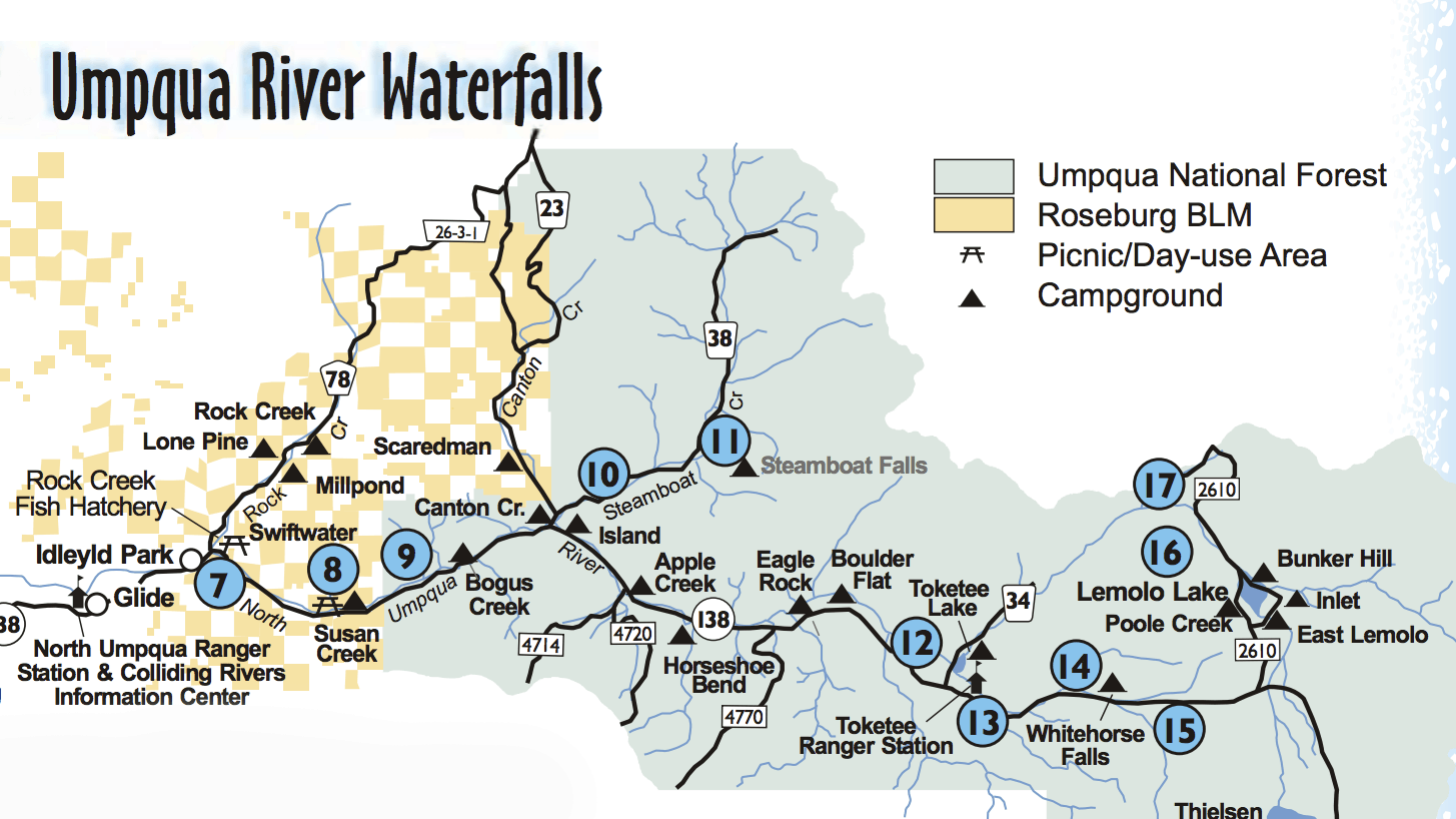
Camp for another night along the river, and stop to hike at one of the 12 trailheads along the North Umpqua Trail. You will soon arrive in the town of Roseburg, where you can access I-5 and head back home after a week experiencing Southern Oregon’s beauty.

