Few rafters and kayakers have ventured into Bhutan due to its policy of “high value and low impact tourism,” which requires a minimum $250/day minimum fee to visit, leaving many of the rivers and creeks unexplored. After four years of guiding trips trips in Bhutan I was fortunate paddle one of those unexplored rivers.
The Paro Chhu (Paro River) begins on one Bhutan’s highest and most sacred mountains, Mount Jomolhari (24,035 feet) and then tumbles through the Himalayas to the town of Paro, which is home to the nation’s only international airport. Downstream of Paro is a wonderful section of whitewater that we run on the second day of our Rivers and Dzongs of Bhutan trip. At our normal take out at the town of Chuzom, the river meets the Thimphu Chhu and becomes the Wang Chuu, which flows south to India and flows into the Brahmaputra River.
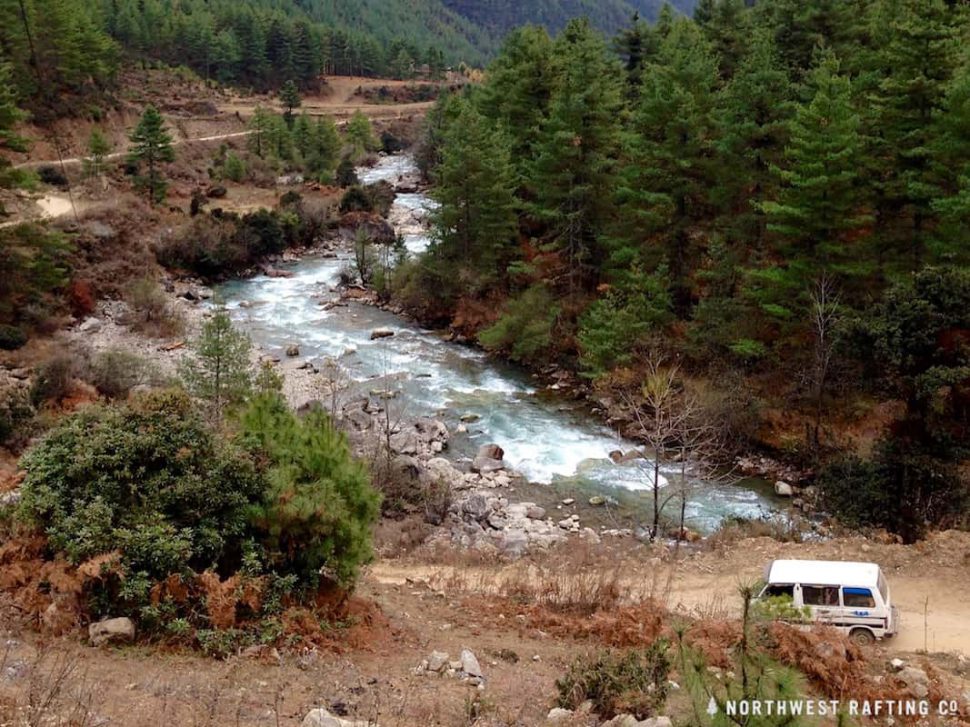
Trekking to Jomolhari Base Camp
Two years ago we scouted the un-run section of the Paro Chhu upstream of Drukgyal Dzong and this year we decided to give it a try. First we wanted to scout even further upstream by trekking up to Jomolhari Base Camp. So we drove up to the town of Shana and then spent 3 days trekking up and scouting the Upper, Upper Paro Chhu.
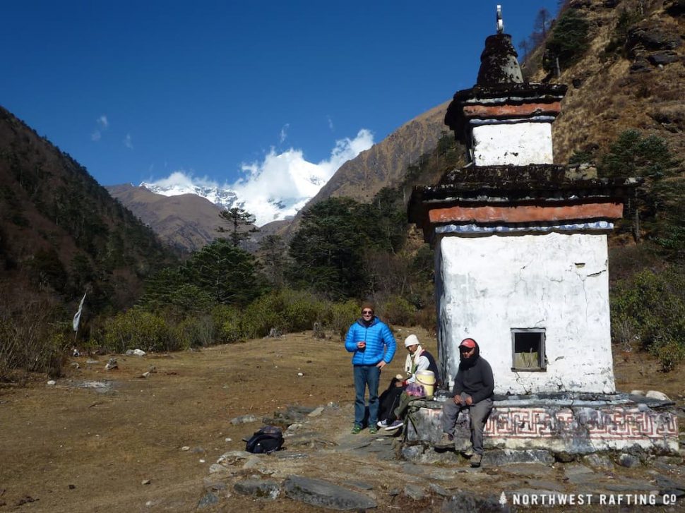
We discovered both runnable sections beyond our abilities and some sections that I’m claiming are unrunnable. So we gave up on paddling this “upper, upper” section and enjoyed the remainder of the hike and the views of Jomolhari before heading back down to Shana to begin our paddle.
Kayaking the Upper Paro Chhu
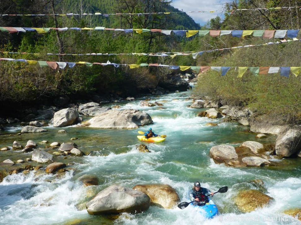
Putting on the river at Shana was amazing. We launched just above a footbridge covered in prayer flags with the majority of the inhabitants from this small village watching in amazement.
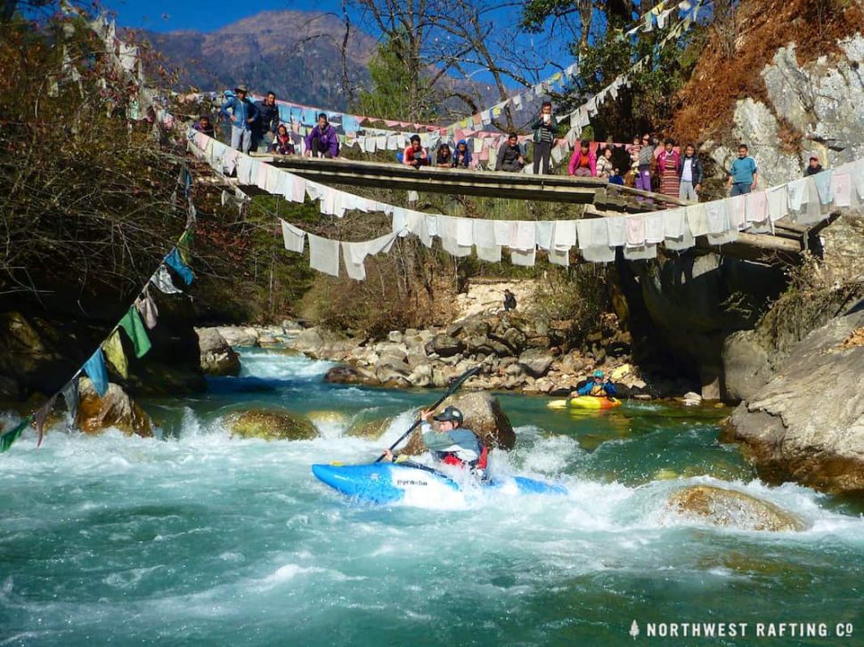
The river was nearly continuous Class IV whitewater from the moment we put on until we had to portage a couple long rapids due to low water. Since the river flows closely to the road at the beginning, we discovered it was easiest to hike up to the Hilux (awesome diesel Toyota truck) and use the road for the portage.
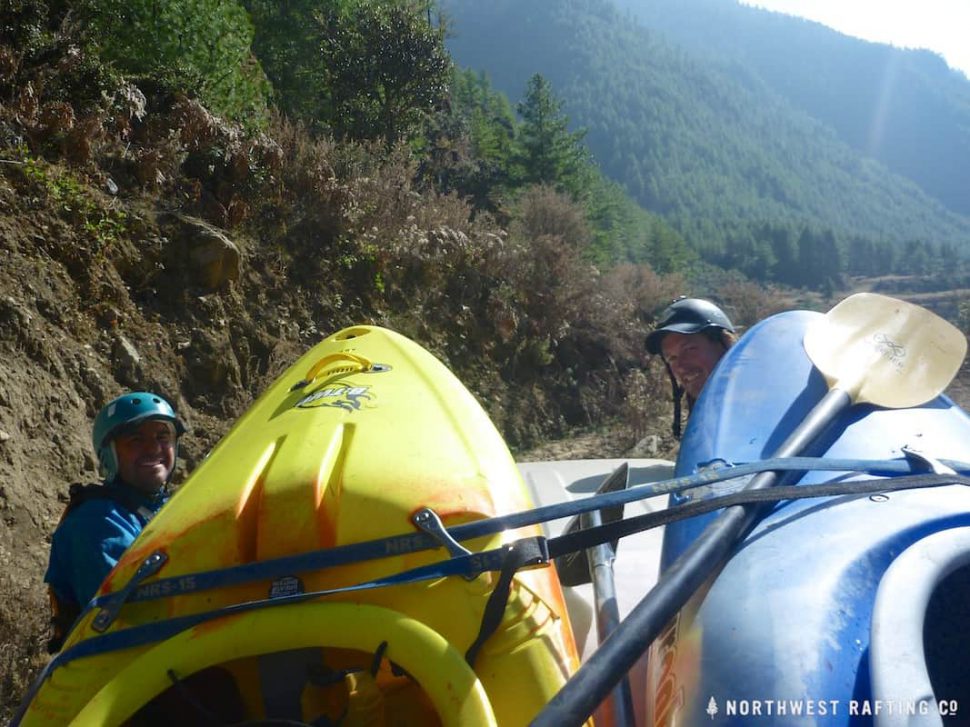
Below the first portage the river was fun, continuous water for quite a while. Distinct rapids came along that were easy to scout or portage.
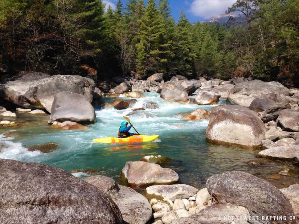
We portaged two rapids at the Indian military checkpoint due to low water, but at higher water they would be fun. After a couple miles the rapids started to build in intensity and we saw big, congested drops go around a corner. This was the first Class V+ gorge, which we portaged using a pack trail on the right.
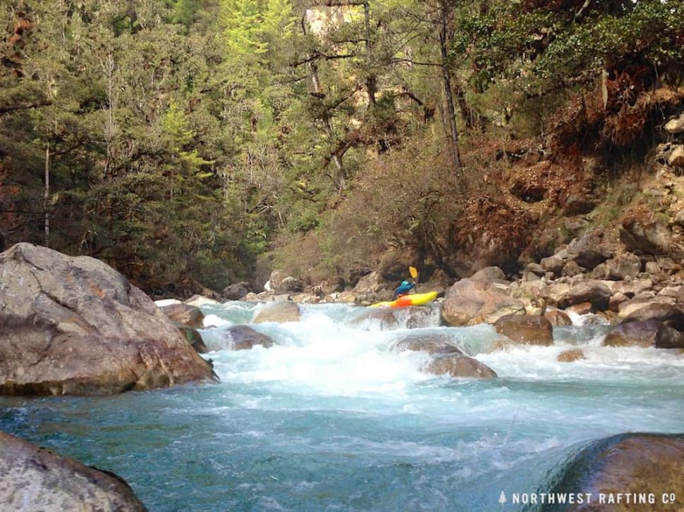
This first Class V+ gorge ended at a footbridge. Below here the rapids were fun and we were getting into a great rhythm until the gradient increased and the river went into another steep gorge.
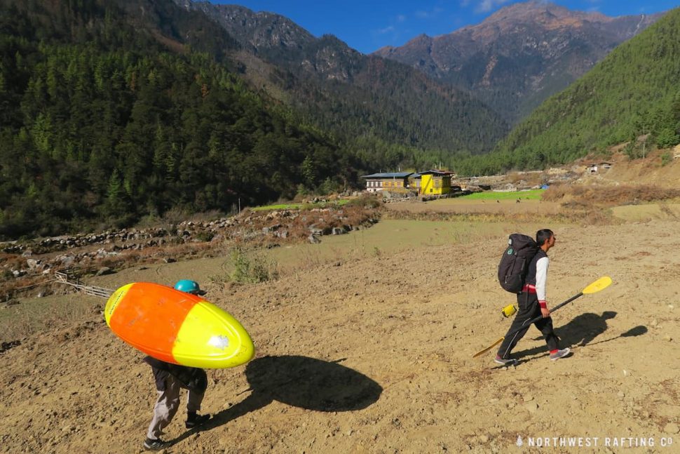
The next portage was on the left bank through farmer’s fields.
The river below the this last portage was amazingly fun. It was continuous Class IV and everything was scoutable from our boats. There was another footbridge across the river and traditional Bhutanese homes on both sides. We took out before the final gorge above Drukyel Dzong just before dark. We had time to scout the final gorge which looks very runnable and will be even better with a little more water. I can’t wait to paddle it when I return next year!

Thank you Lifeproof, Immersion Research, and Xplore Bhutan for providing the support and equipment for this story.

